To find Irvine neighborhood parks walking or biking, start with the City of Irvine's Neighborhood Parks page, which lists 40 parks by street address. Check the city's Park & Facilities Inventory for amenities, plot a route on the interactive bikeways map, and use the free Irvine CONNECT shuttle, which stops at parks and carries bikes.
You don't have to load the car and drive across town to find green space in Irvine. The city's village layout tucks small public parks right into residential neighborhoods, and the City of Irvine's Neighborhood Parks page lists 40 of them, each with a street address. These are the quiet ones, often just a lawn and some trees a few blocks from home. With the city's trail maps and a free shuttle, you can reach many of them without a car.
This guide covers how to tell a public city park from a private homeowners association amenity, how to plan a walking or biking route, and a few sample outings to get you started. It's about Irvine, California, not Irvine, Scotland, and not the neighboring Orange County cities with their own park systems.
What a neighborhood park is (and what it isn't)
The city puts it simply: "Open space and some recreational amenities are provided in the various villages of Irvine." Neighborhood parks are smaller and simpler than the city's community parks. According to the Neighborhood Parks page, they usually have no public facilities or staff. Plan as if you won't find restrooms or anyone on site to help.
The city sets a few ground rules:
-
Picnic areas are first-come, first-served. In the city's words: "Picnic areas cannot be reserved and are available on a first-come, first-served basis for groups of 49 or less."
-
No alcohol and no vendors.
-
Bounce houses need a permit at some locations.
-
Hours: the Community Parks & Centers page lists city park hours as 6 a.m. to 10 p.m. daily.
If you need staff, rentable rooms or a bigger setup, the community parks with centers are the better pick. They include Heritage (14301 Yale Ave.), Northwood (4531 Bryan Ave.), Turtle Rock (1 Sunnyhill Drive), University (1 Beech Tree Lane), Woodbury (130 Sanctuary), Cypress (255 Visions), Deerfield (55 Deerwood West), Las Lomas (10 Federation Way), Los Olivos (101 Alfonso) and Portola Springs (900 Tomato Springs). Mike Ward Community Park (Woodbridge) is at 20 Lake Road, and Quail Hill Community Park is at 35 Shady Canyon Drive.
Public park or HOA amenity? Know the difference
Walk through almost any Irvine village and you'll pass pools, tot lots and lawns. Many of them belong to homeowners associations, not the city, and they aren't open to the public the way city parks are.
Woodbridge is a clear example. The Woodbridge Village Association is a private master association that runs 41 recreation facilities, including two lakes, two beach lagoons, 22 pools and "numerous parks with play equipment." Its New Members page says: "To access the recreation amenities, you will need to obtain your facility identification card(s)."
The easy fix is to begin with the city's own lists. If a park appears on the Neighborhood Parks page or the Community Parks & Centers page, it's a public city park. If it doesn't, assume it may be private until you know otherwise.
Step 1: Find your nearest public park
Open the Neighborhood Parks list and look for addresses near you. A sampling of what's there:
-
Alderwood Park, 4 Northwood
-
Blue Gum Park, 14 Aberdeen
-
Brywood Park, 15 Westwood
-
Carrotwood Park, 60 Bennington
-
Chaparral Park, 19032 Turtle Rock Drive
-
Citrusglen Park, 12170 Citrusglen
-
College Park, 14471 Mayten
-
Coralwood Park, 12 Fremont
-
Creekview Park, 300 East Yale Loop
-
Cypress Grove Park, 275 Rush Lily
-
Eastwood Park, 130 Frontier
-
Orchard Trails Park, 150 Tomato Springs
-
Plaza Park, 610 Paseo Westpark
-
Silkwood Park, 1 Mayflower
-
Stonegate Park, 280 Honors
-
Sweet Shade Park, 15 Sweet Shade
-
Valley Oak Park, 16001 Valley Oak
-
Willows Park, 4562 Ranchgrove
The list also includes two vista points: Bommer Vista Point (340 Summit Park Drive) and Sepulveda Vista Point (4 Federation Way).
Once you've found a candidate, check what it has. The Community Parks & Centers page points to a downloadable Park & Facilities Inventory showing which parks have athletic fields and courts, rental rooms and picnic shelters. The Parks Inventory page calls this "a matrix of existing public park amenities." It's worth a look before you go, since individual park pages don't always say much.
Step 2: Plan your walking or biking route
Irvine's trail network is what makes car-free park hopping practical. According to the city's Biking page, "The City of Irvine provides a system of 113.24 miles of off-street bikeway trails and 286.42 lane miles of on-street bikeways." That much off-street trail means you can reach many parks without riding along major roads.
The same page links to the planning tools you'll want:
-
An interactive bikeways map for plotting routes
-
The 2022 Bikeways Map (PDF) to download or print
-
A City of Irvine Named Public Paved Off-Street Trails PDF
-
OCTA bikeways maps for trips that leave the city
-
Bike safety and theft-prevention tips
Planning suggestion: drop your park's address into the interactive map, find the nearest off-street trail, and trace it back toward home. The named trails PDF helps you match trail names on signs to what's on the map.
Spotlight: the Jeffrey Open Space Trail, Irvine's north-south spine
If one trail ties the city together, it's the Jeffrey Open Space Trail (JOST). It opened as a 3.5-mile trail in 2015. On Tuesday, August 11, 2026, the JOST Bicycle & Pedestrian Bridge and trail extension opened. The city describes the bridge as about 1,200 feet long and 15 feet wide, the largest pedestrian and bicycle bridge in Irvine. It crosses the I-5, a park-and-ride lot and Walnut Avenue, connecting to JOST and the Cypress Village Trail on the north side and the JOST extension on the south.
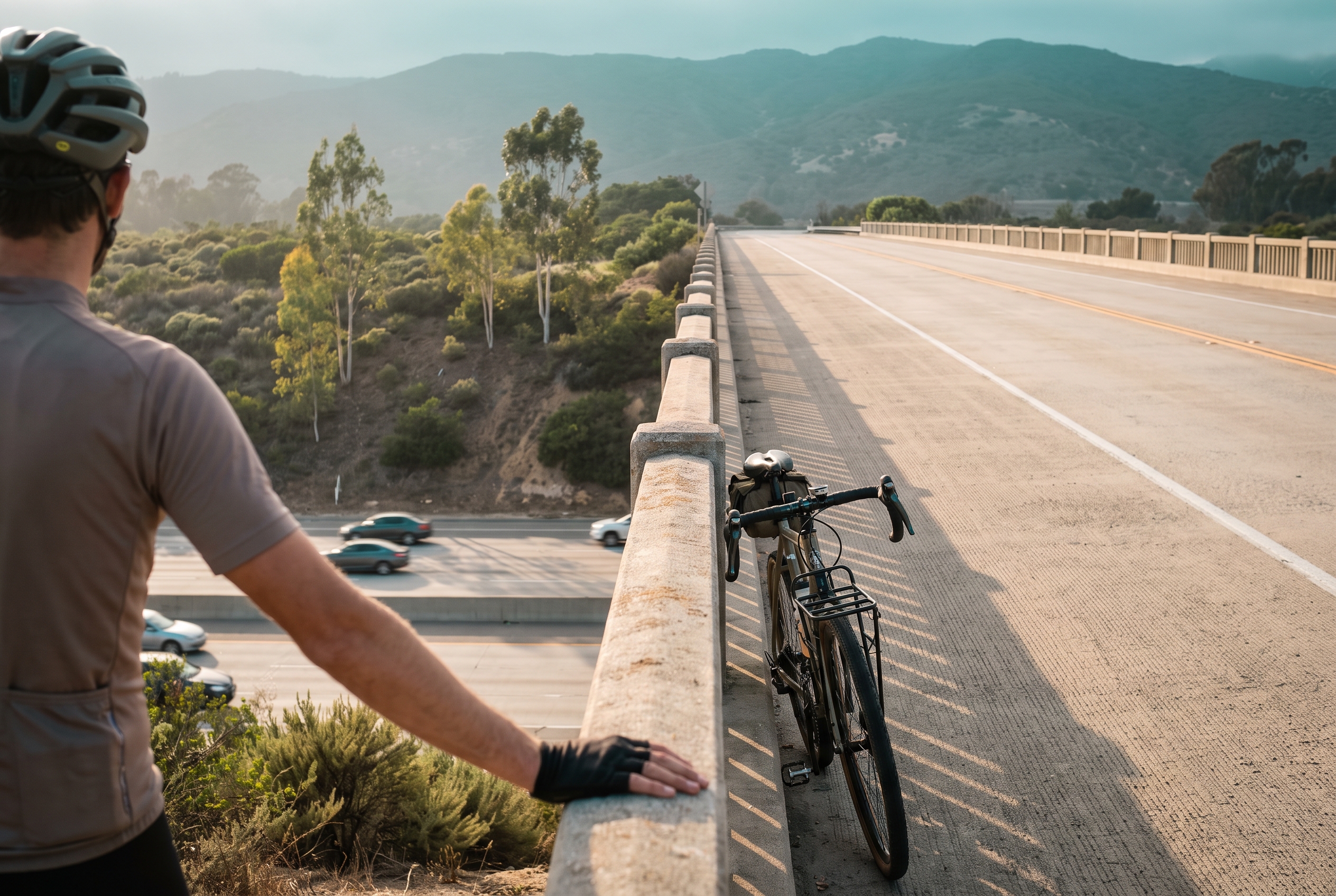
The city says the project closes a gap in a trail network that links the Pacific Ocean to the Santa Ana Mountains and Cleveland National Forest. For park seekers, that means a freeway that once split the city is now something you can walk or ride over on a dedicated path.
Destination Irvine, the city's visitor bureau, describes JOST as running "through the heart of the city, connecting neighborhoods, parks, and community gathering spaces." It also highlights a few other routes, with approximate lengths:
-
Hicks Canyon Trail: about 2 to 2.3 miles, per Destination Irvine
-
Mountains to Sea Trail / San Diego Creek Trail: about 10 to 15 miles depending on the segment, per Destination Irvine
-
Cadence Bikeway: 1.25 miles, a Class IV protected bikeway, per Destination Irvine
Step 3: No bike? Take Irvine CONNECT
The free Irvine CONNECT shuttle links northern Irvine to Irvine Station, "with stops at parks, schools, hospitals, and shopping centers," as the city's Public Transportation page puts it. What to know:
-
Cost: free
-
Hours: weekdays 6 a.m. to 8 p.m., weekends 8 a.m. to 10 p.m.
-
Frequency: "approximately every 20 minutes"
-
Tracking: real-time bus locations in the Passio GO! app
-
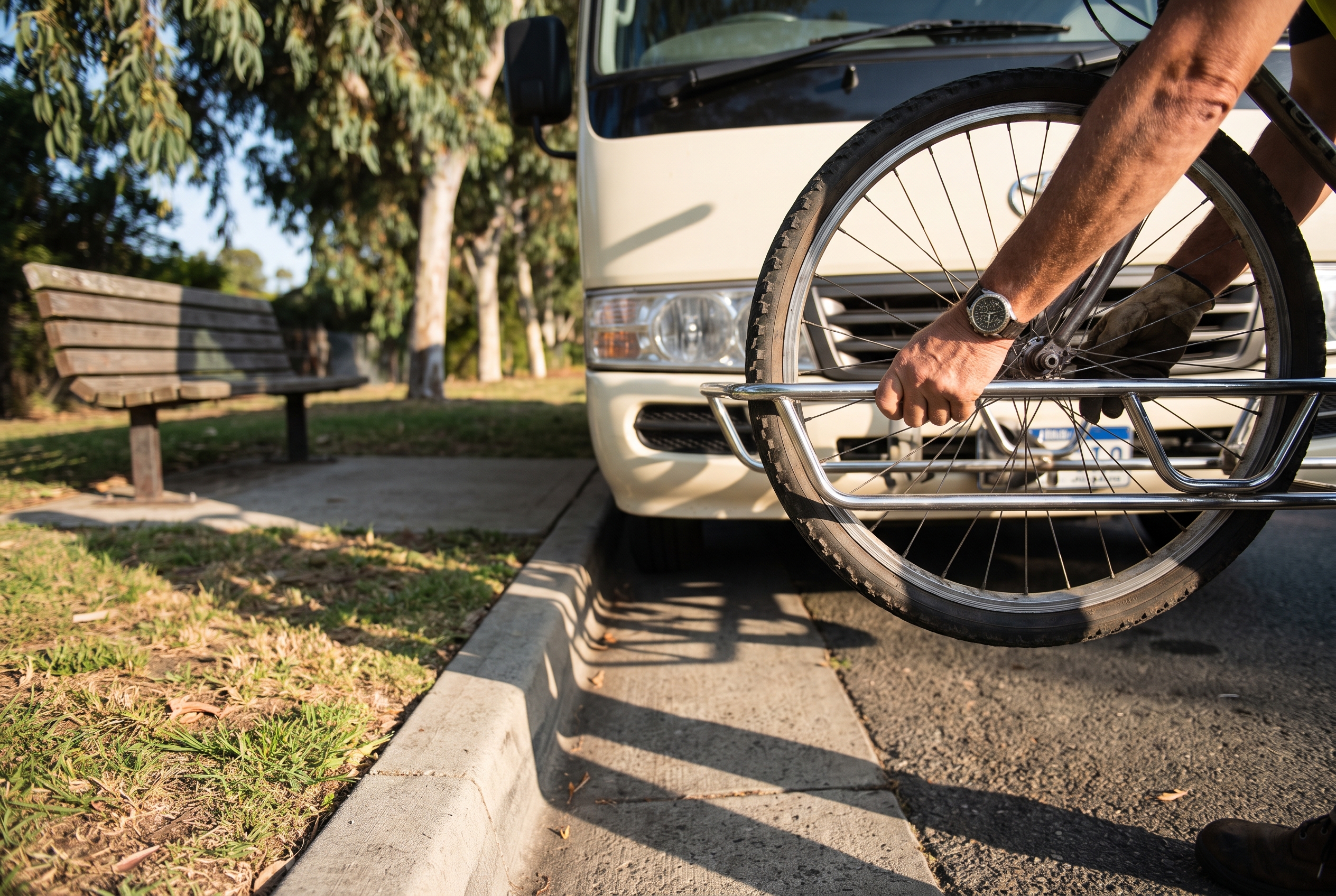
Bikes: "Store bicycles in the rack on the front of the bus"
-
Strollers: "Please fold strollers before boarding"
-
Help line: (213) 278-3769
The route expanded on July 1, 2025. Check the city's Irvine CONNECT page for current stops before you head out. The service started small: LAist reported in March 2024 that it launched as a one-year pilot on April 1, 2024, with seven 25-passenger, wheelchair-accessible shuttles. The city's current pages show it still running.
Planning suggestion: the front bike rack makes a good hybrid trip. Ride one way, take the shuttle back, or use it to skip a stretch you'd rather not pedal.
Sample car-free outings
These groupings are starting points, not fixed routes. Plot each address on the interactive bikeways map to see how they connect from where you live.
Northwood
Alderwood Park (4 Northwood), Silkwood Park (1 Mayflower) and Coralwood Park (12 Fremont) are all on the city's neighborhood list. Northwood Community Park (4531 Bryan Ave.) makes a natural anchor if you want a larger park in the mix.
Westpark
Plaza Park (610 Paseo Westpark) is a small neighborhood stop worth fitting into a walk around the village.
Turtle Rock
Start at Chaparral Park (19032 Turtle Rock Drive), then add Bommer Vista Point (340 Summit Park Drive), one of the two vista points on the city's list. Turtle Rock Community Park (1 Sunnyhill Drive) is also in the area.
Woodbury and Stonegate
Stonegate Park (280 Honors) pairs well with Woodbury Community Park (130 Sanctuary) for a day with a bigger community park.
Portola Springs
Orchard Trails Park (150 Tomato Springs) and Portola Springs Community Park (900 Tomato Springs) share a street name, so they're easy to put together on one route.
Practical tips
-
Arrive early for picnic tables. They can't be reserved, so the first group there gets them.
-
Bring water and plan for restrooms. The city says neighborhood parks usually have no public facilities.
-
Lock your bike. The city's Biking page includes theft-prevention tips worth reading before you leave a bike at a park.
-
Mind the hours. City parks are open 6 a.m. to 10 p.m. daily, and Irvine CONNECT stops running at 8 p.m. on weekdays.
-
Stick to public parks. If you're not sure whether a green space belongs to an HOA, check it against the city's lists.
A little context
Irvine's park system has drawn national notice. In a 2019 city news release, the City of Irvine said the Trust for Public Land ranked it No. 6 among park systems in the 100 largest U.S. cities. At the time, the city counted 22 community parks and 40 neighborhood parks, plus the roughly 1,300-acre Great Park. Today the city's Parks Inventory page says Irvine has "more than 6,500 acres of protected open space."
One new park a weekend
The small parks aren't an afterthought in Irvine's village plan. They're a big part of how it works: green space close enough to reach on foot, linked by trails that keep you off busy streets. Pick one address from the city's list you've never visited, map a route and go this weekend. Then pick another.
Related reading
-
Jeffrey Open Space Trail bridge in Irvine: what the new connection changes before your next ride
-
The Best Time to Visit Great Park Irvine: Weekday or Weekend?
Sources
-
Jeffrey Open Space Trail Bicycle & Pedestrian Bridge to Open August 11, City of Irvine
-
Here's How To Use Irvine's Free Daily Shuttle Service, LAist (Yusra Farzan, March 31, 2024)
-
Best Biking Trails & Paved Bike Paths in Irvine CA, Destination Irvine
Irvine Life is an independent publication and is not affiliated with the City of Irvine, UC Irvine or the Irvine Company. Any illustration accompanying this article is AI-generated and labeled as such.